| Recent Avalanches? | Yes |
| Collapsing (Whumphing)? | Yes |
| Cracking (Shooting cracks)? | Yes |
Observation: Turnagain
Location: Tincan
We conducted road observations from the highway and drove down to Summit Lake and back to Turnagain. We wanted to verify storm snow totals throughout our zone and try to get a better idea of the consistency of the snow itself. We were then able to take a quick tour up Tincan to tree-line and dig a couple pits.
Obvious signs of instability
Observer Comments
Shooting cracks initiated off of skis when we were off the skin track. Small storm slabs were propagating off of small steep terrain features and rollovers. The interface looked to be between the snow that fell on Wednesday and the new snow that has been falling today.
Weather
Heavy snowfall from Girdwood to Summit Lake throughout the day with complete cloud cover and whiteout conditions. Warm temperature led to heavy moist snow at road level in Turnagain Pass and a mix with some rain at sea level in the afternoon. Winds were light to moderate with some notable gusts, and we stayed in relatively sheltered terrain.
Snow surface
Summit had between 6 - 8" of new snow and Turnagain had about 8-10". The new snow was moist and pretty dense, especially compared to the lighter and colder snow that fell on Wednesday. The new heavy snow made for difficult skiing conditions and we had to mostly ski down the skin track just to keep some momentum.
Snowpack
The mixed crust/facet layer buried on Pi day (03/14) is now about 2' below the snow surface. This interface is not bonding well with the new snow and has the potential to produce large avalanches that could entrain large amounts of snow and run far. We had propagation in an extended column test on that layer on a NW aspect at 2100' (ECTP23). We also had propagation at the interface between the Wednesday snowfall and the most recent snowfall (ECTP 5, 20. The upper snowpack is very upside down right now, with heavy snow on top and light snow underneath, which is making surface avalanches very easy to trigger.
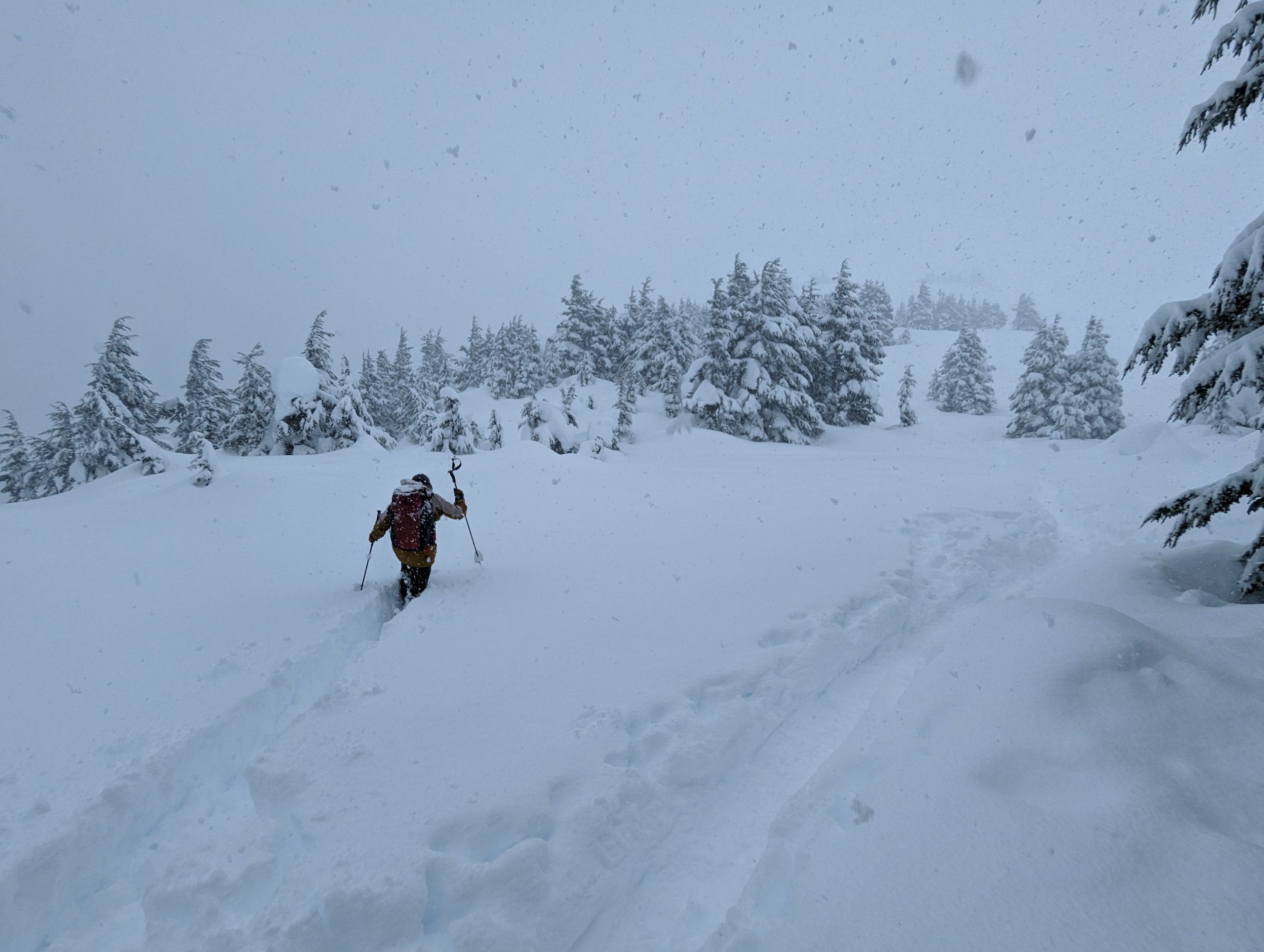
Some deep trail breaking if you dare to step off the skin track!

Snowpit on a NW aspect at 2200' with two potential weak interfaces in upper 2' of snowpack.
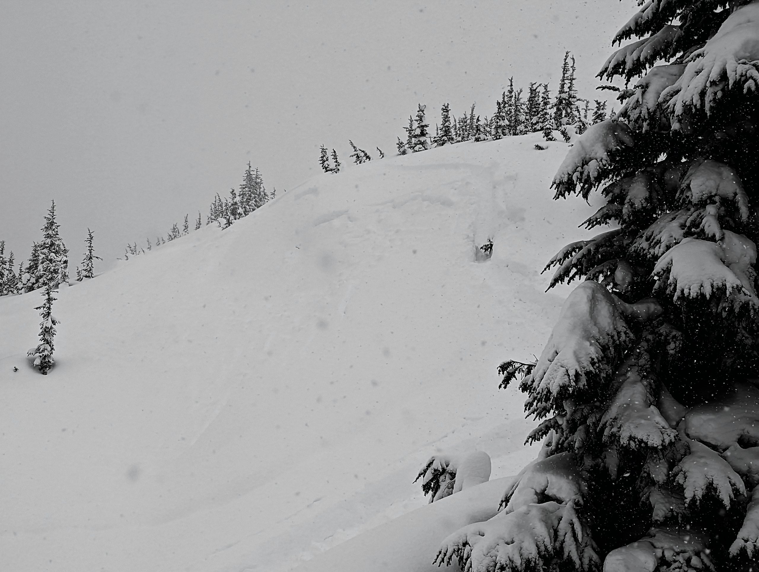
Small storm slab near treeline on Tincan