| Recent Avalanches? | No |
| Collapsing (Whumphing)? | No |
| Cracking (Shooting cracks)? | Yes |
Observation: Turnagain
Location: Super Bowl
We headed up with hopes of skiing Goldpan, but stayed in Superbowl as winds ramped up and visibility deteriorated in the afternoon. We saw active loading along ridgelines, and we were easily able to trigger low-volume sluffs up high. We dug a pit at 2800′ before we got on the steep headwall and did not see any concerning layers in the upper 5′ of the snowpack.
We took a quick detour in the morning to swap out batteries in the beacon checker sign just out of the moto lot. She is back up and running!
Obvious signs of instability
Observer Comments
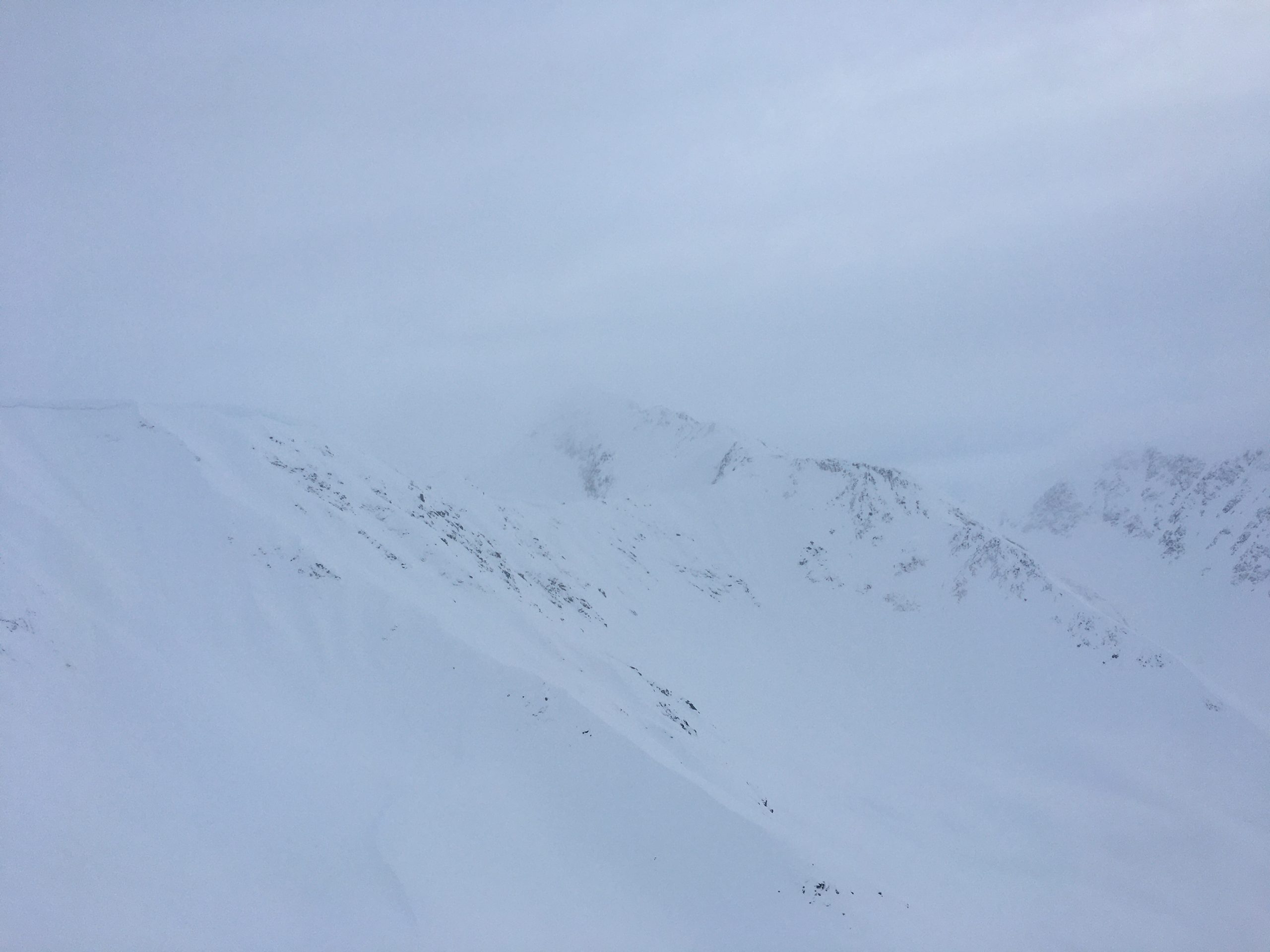
Ongoing sluffing in the steeps. Visibility was poor, but it looked like a lot of the north-facing terrain on Cornbiscuit had sluffed over the past 24 hours.
Started seeing some short (5-10' long) shooting cracks where the wind was loading along the ridge.
Weather
Partly cloudy skies in the morning, with mostly cloudy skies by around noon. Winds were blowing snow along the high ridgelines while we were driving up this morning, and ramped up during the day. No precip while we were out.
Snow surface
6-10" soft snow on top made for great surface conditions. Very little wind effect on the surface until winds started to ramp up in the afternoon.
Snowpack
We dug a pit on a west aspect at 2800' on our way up. Total snow depth was 250 cm deep, and there were no layers of concern in the upper 5' of the snowpack (ECTN16, ECTN24 on some storm interfaces from last week). The New Year's crust was buried about 3' deep, with a little over 2' of firm settled snow from last week's storms. New snow from the past few days was 6-10" deep.
It is looking like a strong setup as the next storm approaches, with the biggest concern being how the new snow will behave on the existing snow surface.

Mostly clear skies with some flagging near Byron and Explorer this morning. 01.20.2022

Clouds moving in through the day. Looking south towards Granddaddy at about 2:00. 01.20.2022
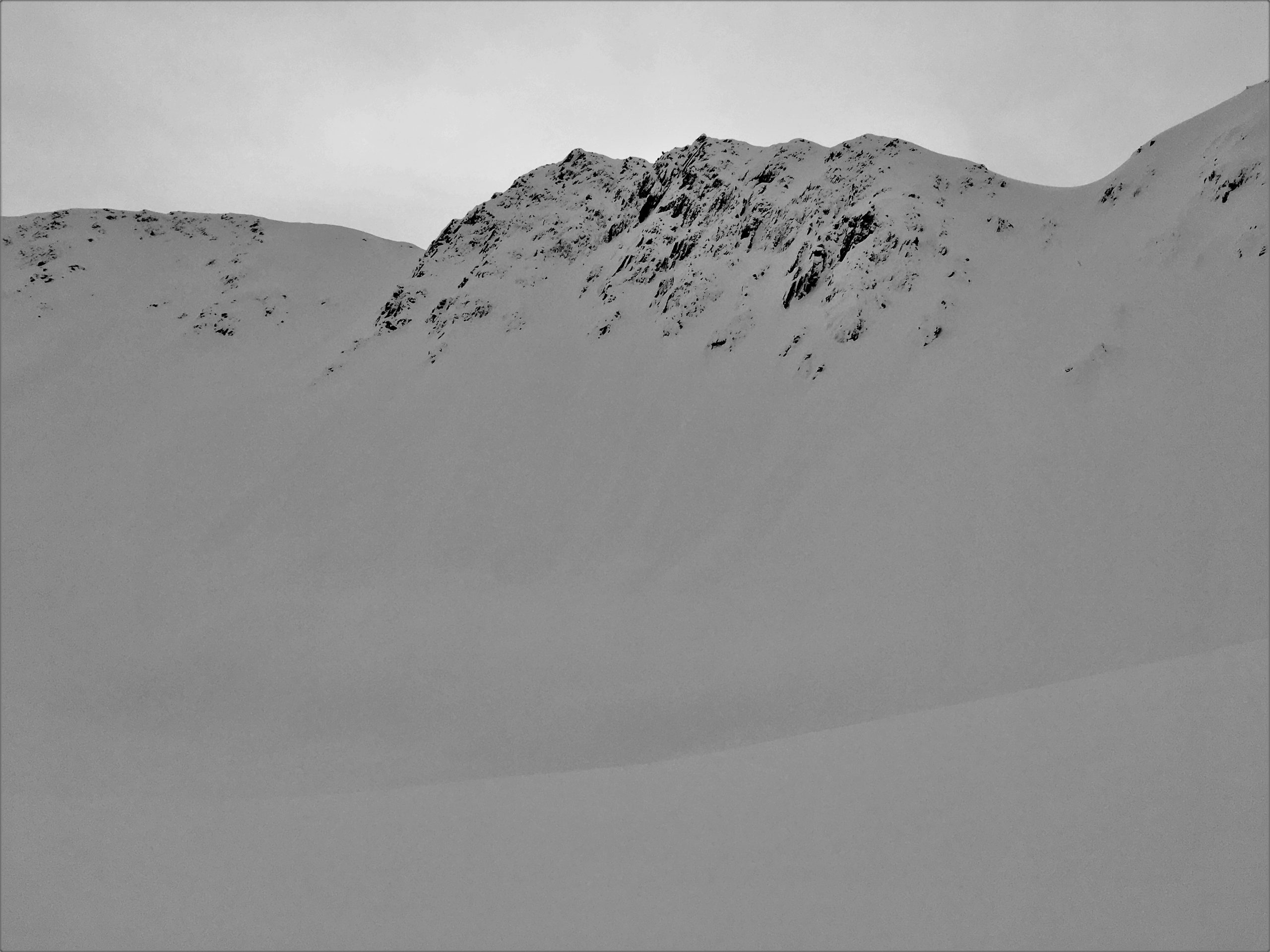
View towards Goldpan and Pastoral. 01.20.2022
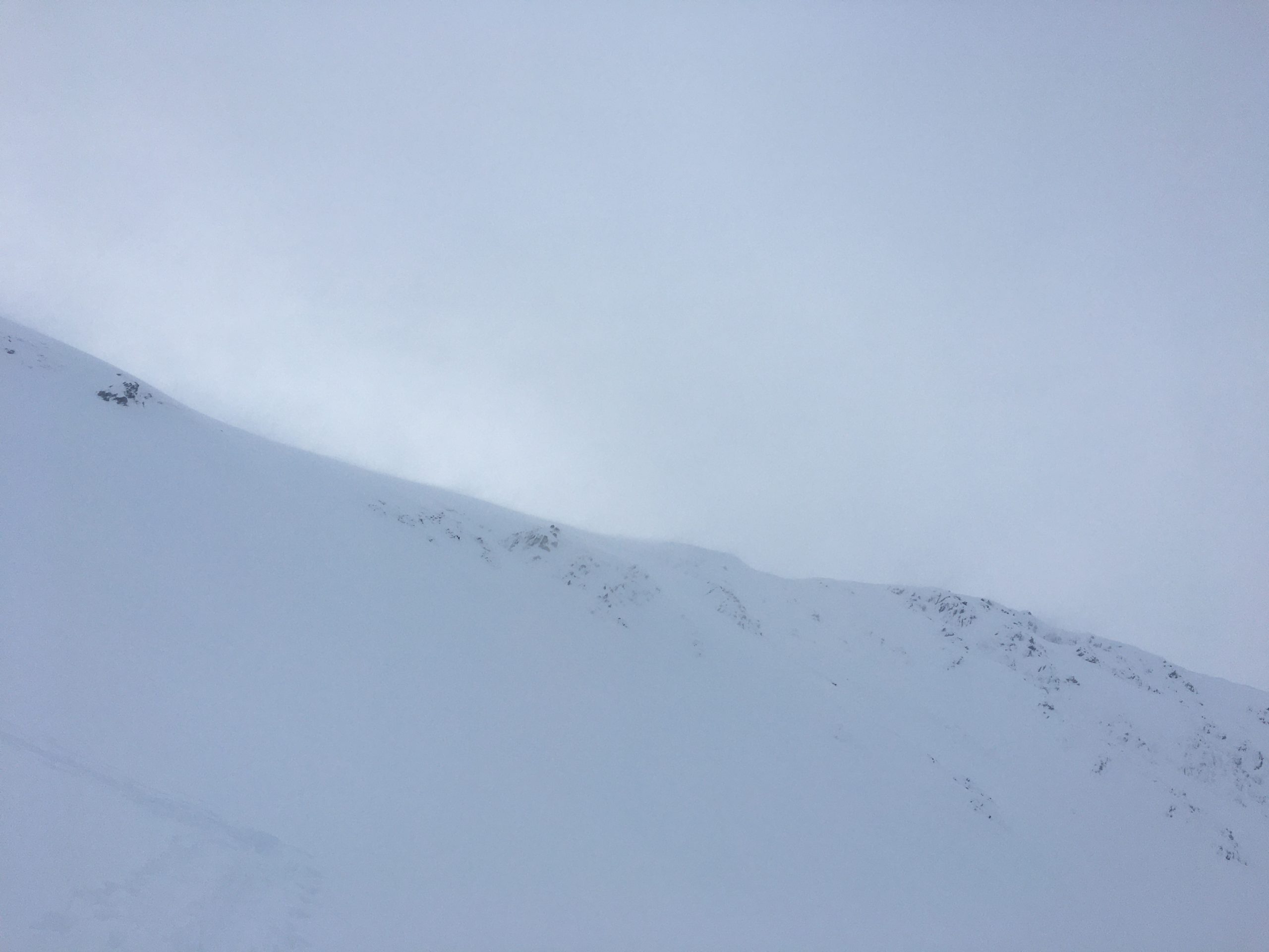
Blowing snow at about 1:30. 01.20.2022
If you squint hard enough, you can see multiple debris piles from loose avalanches below the cliffs. 01.20.2022

Seattle Ridge beeper sign is back in business. 01.20.2022