| Trigger | Skier | Remote Trigger | No |
| Avalanche Type | Soft Slab | Aspect | Southwest |
| Elevation | 2000ft | Slope Angle | unknown |
| Crown Depth | 12in | Width | 30ft |
| Vertical Run | unknown |
Avalanche: Turnagain
Location: Pete's North
We toured from Johnson pass trailhead up to tree line at around 2100′ on Pete’s North. Traveling through the alders still requires an open mind and some creativity but we were able to manage.
Avalanche Details
The avalanche was small, propagating 30' across the slope and running only 1-2'. The avalanche broke at the crest of a wind loaded slope.
Obvious signs of instability
| Recent Avalanches? | Yes |
| Collapsing (Whumphing)? | No |
| Cracking (Shooting cracks)? | Yes |
Observer Comments
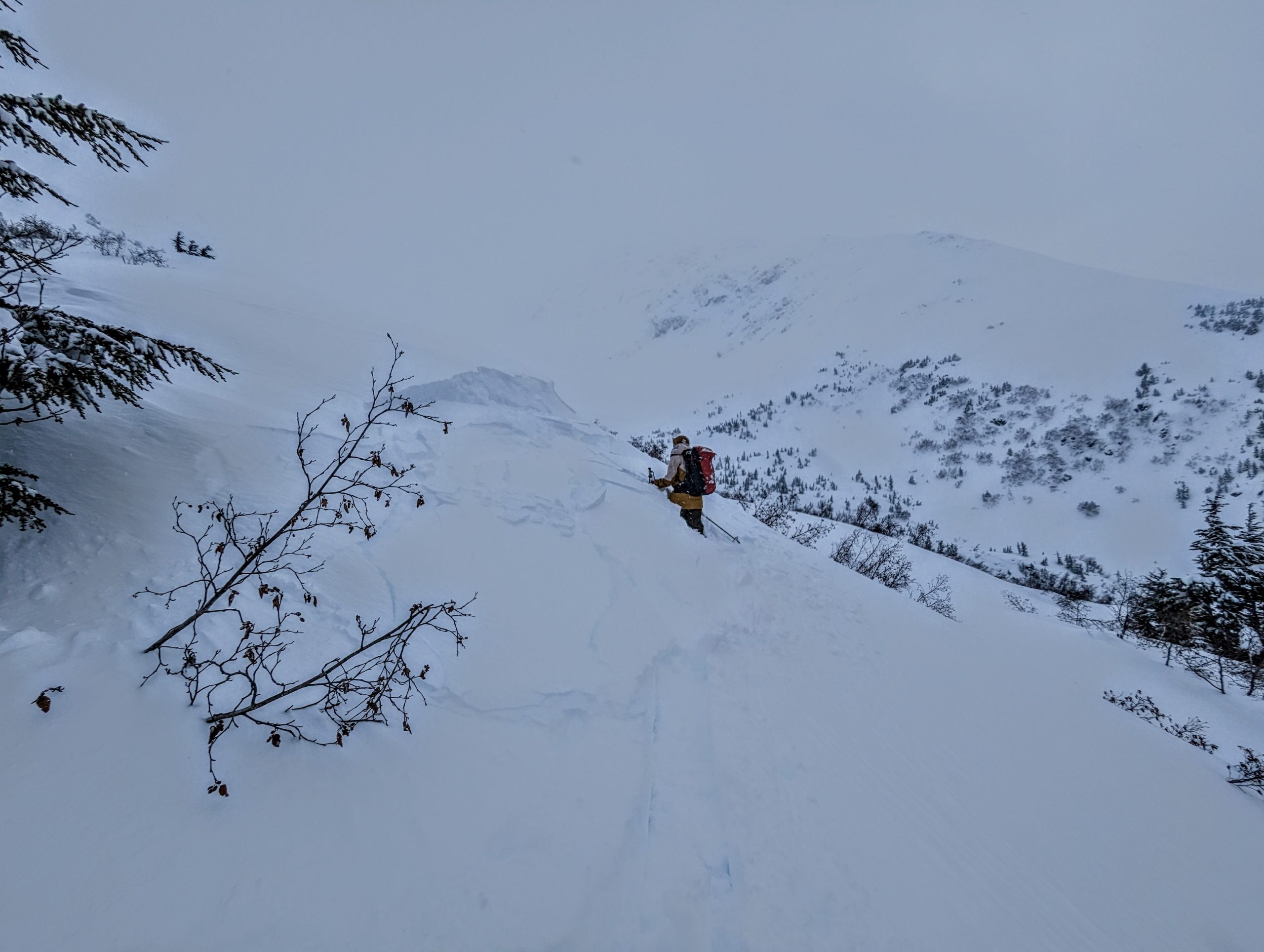
Around 2000' where we became more exposed to wind we triggered several large shooting cracks. We also observed signs of heightened wind and blowing snow such as stiff snow surfaces and ripples on the snow surface.
Weather
We observed heavy snowfall off and on throughout the day. The sky was overcast and we had poor visibility making it challenging to pick-out avalanches on mountains or slopes in the area. Below tree-line temperatures hovered in the high 20's and winds were light to moderate. At tree-line we saw strong winds transporting snow onto leeward slopes and other micro-terrain features.
Snow surface
The new snow was moist at lower elevations. There was about 6-8" of new snow on top of the crust from last weeks warming event. Snow gradually became lighter as we gained elevation. We lost the crust around 1800' where the snow in more wind loaded areas was beginning to form a 1-2' slab on top of the new snow. Some pockets of wind loaded snow were as deep as 1.5'.
Snowpack
We dug two pits...
Pit 1 at 1533' on a west facing slope was 175cm deep. We conducted two extended column tests and in both test's we saw full propagation on top of the 1/25 melt freeze crust (ECT P 9, 12). There was no propagation on the 1/10 buried surface hoar, which was below crust. At the higher elevation pit the snow depth was only 145cm with propagation in two extended columns tests on the 1/10 buried surface hoar (ECT P 17,27). In this location the surface hoar had large grain size and was well preserved in the snowpack.
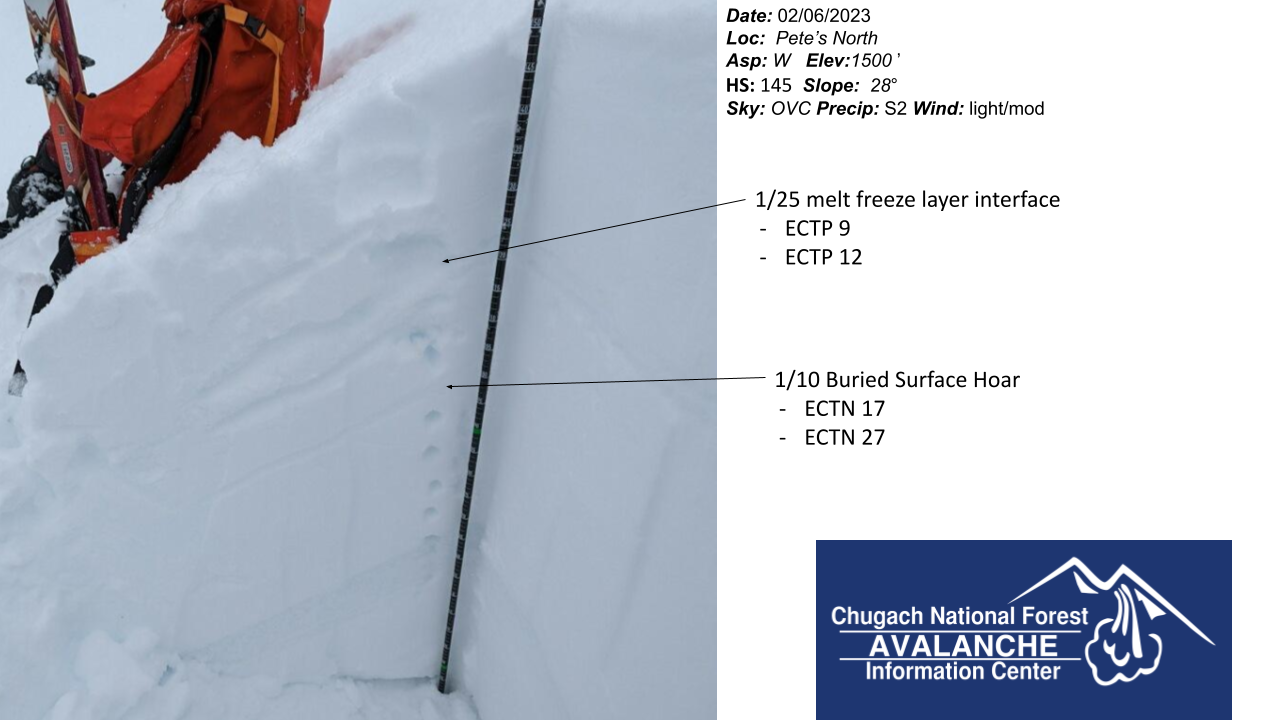
Snowpit structure in lower tree line elevation band.
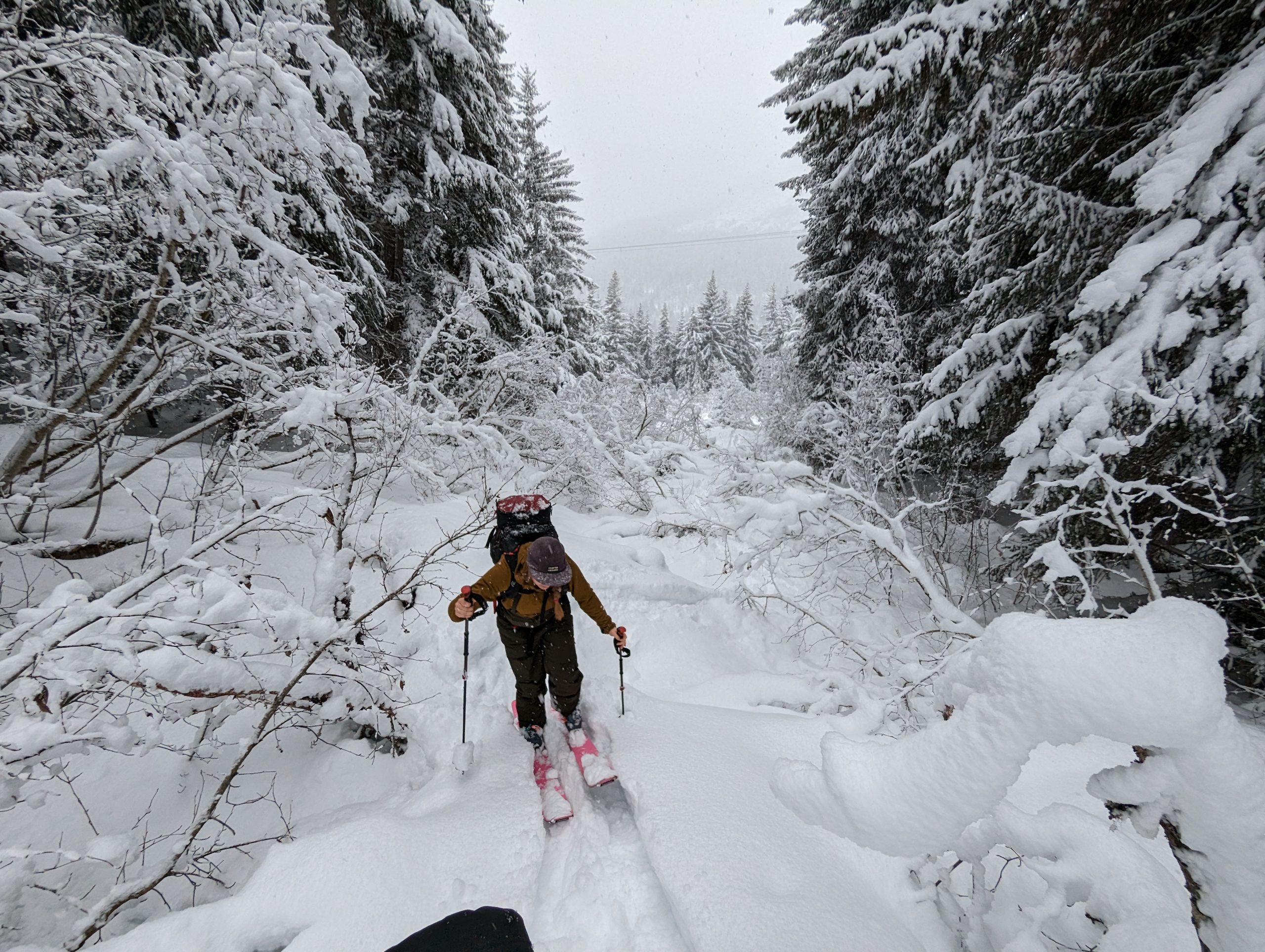
Still some upright alder to contend with at lower elevations.
PXL_20230206_220509848